About OCFL Atlas
OCFL Atlas is an application that encourages citizens to become more engaged in the growth of their community by pinpointing new construction projects in Orange County. This app offers citizens the ability to access...
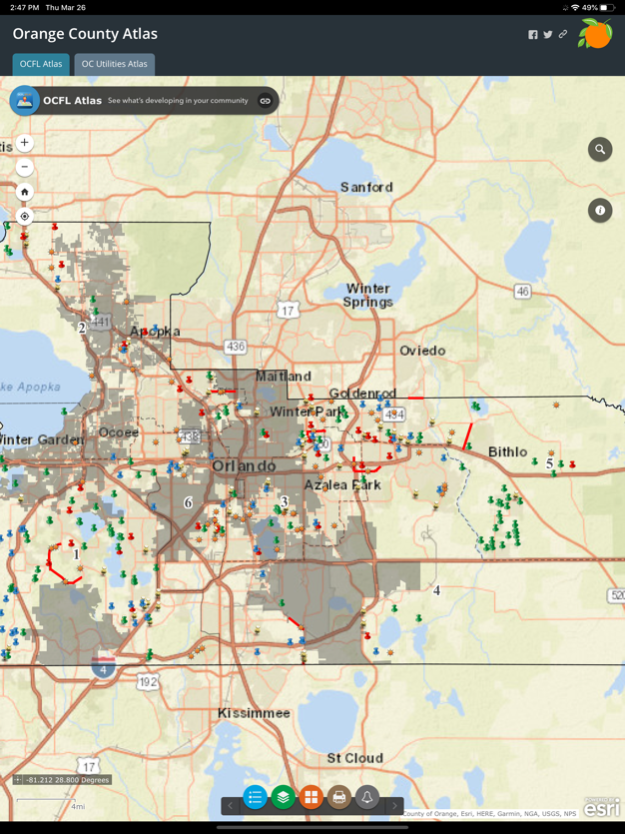
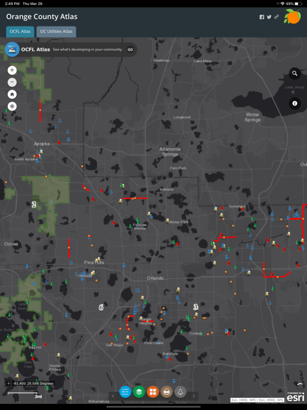
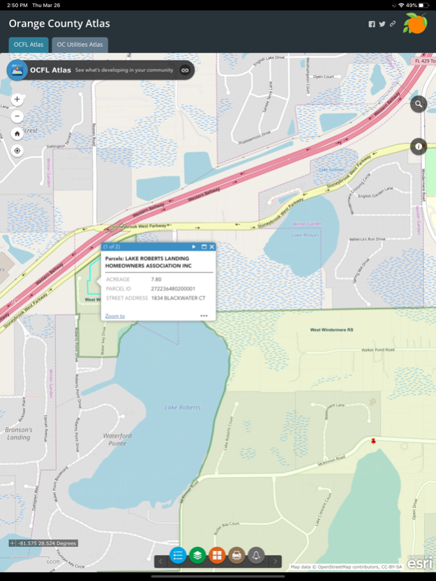
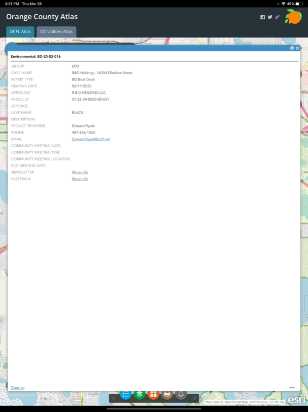
OCFL Atlas is an application that encourages citizens to become more engaged in the growth of their community by pinpointing new construction projects in Orange County.
This app offers citizens the ability to access real-time development data, board meeting details and project locations.
Users can zoom into their current location, search by address or pan around Orange County to see new projects.
Public notification is required for development applications to ensure citizens have the opportunity to express opinions prior to a public hearing.
OCFL Atlas is designed to work on most devices including desktop computers, smartphones and tablets.
Jun 17, 2020
Version 1.4
Bug fixes:
- Fixed issue with inability to select layers for the Utilities map
Previous Versions
Here you can find the changelog of OCFL Atlas since it was posted on our website on 2016-10-04 02:53:30.
The latest version is 1.4 and it was updated on 2024-04-02 12:11:40. See below the changes in each version.
OCFL Atlas version 1.4
Updated At: 2020-06-17
Changes: Jun 17, 2020 Version 1.4
Bug fixes:
- Fixed issue with inability to select layers for the Utilities map
OCFL Atlas version 1.4
Updated At: 2020-06-17
Changes: 17 Jun 2020 Version 1.4
Bug fixes:
- Fixed issue with inability to select layers for the Utilities map
OCFL Atlas version 1.3
Updated At: 2020-03-27
Changes: Mar 27, 2020 Version 1.3
- OC Utilities: Interactive map that allows users to see current Orange County Utilities capital improvement projects, service areas, roadway projects, city limits and Commissioner district boundaries
OCFL Atlas version 1.2
Updated At: 2018-04-03
Changes: Apr 3, 2018 Version 1.2
- Internet connections are now secure
- General app improvements
- Added share capabilities for printable maps
- Improved support for iPhone X
OCFL Atlas version 1.1
Updated At: 2016-04-18
OCFL Atlas version 1.4
Updated At: 1970-01-01
Changes: 17 de jun de 2020 Version 1.4
Bug fixes:
- Fixed issue with inability to select layers for the Utilities map
Disclaimer
Official App Store Link
We do not host OCFL Atlas on our servers. We did not scan it for viruses, adware, spyware or other type of malware. This app is hosted by Apple and passed their terms and conditions to be listed there. We recommend caution when installing it.
The App Store link for OCFL Atlas is provided to you by apps112.com without any warranties, representations or guarantees of any kind, so access it at your own risk.
If you have questions regarding this particular app contact the publisher directly. For questions about the functionalities of apps112.com contact us.